About
Established in 2017, The Loose Goat Ltd is a technology and data business located in rural Surrey, with a focus on Maps, Data and Information Governance.
In late 2022 we shifted our business model to primarily support Individuals, Not-for-profits, Charities and Small Businesses. Having worked in the puiblic sector for over 20 years, cheifly in the IT space, we know a lot about all the main GIS, Mapping, Data, and Web technologies, the various vendors & industry trends. Our aim is to provide customers with such technologies on limited budgets.
We are avalible to give talks on GIS, Open-Source GIS, GIS and Archaeology and just QGIS, free of charge to local charities and interest groups.
Looking for a unique colouring book?
Looking for a book on QGIS?
Services
The Loose Goat provides a range of professional services with the fundamental aim of bringing our customers value for money.
We provide our clients with a wide range of services beyond our core areas of Maps, Data and Information Governance. As such, we can provide customers with our skills in all things website related, cloud technologies & services and graphic design.


MAPS

How can we help you?
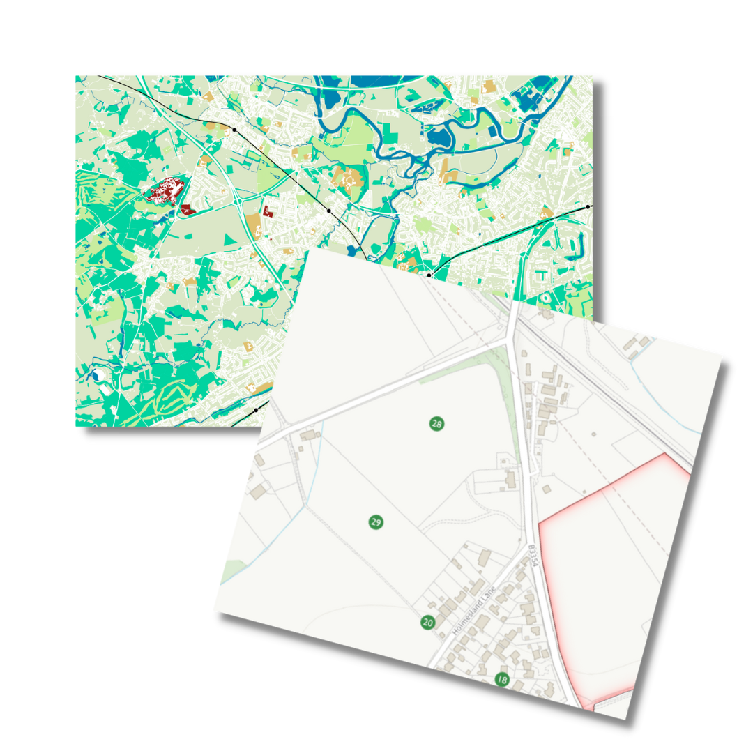
The Loose Goat can deliver a wide range of maps, for reports or publications, for startups, for websites, for plans and more besides.
We are licensed to use Ordnance Survey premium products (once they have been purchased) and we are experienced in using all the range of Ordnance Survey open data.
A lot of the time maps can be turned around really quickly, especially if the data for the map already exists.
If you are looking for maps for the web, then we can build on OpenLayers, Leaflet js or Google maps.
How have we helped others?
Customers come to us with a range of mapping needs.
Some need simple location maps, while others need multipage reports. Using QGIS we can run geospatial processes to produce even more maps/data for our customeres needs.
In the past we had requests for just highly detailed base maps, just so that they can be exported into graphic design packages. An example of this can be seen in Manchester city centre, with there Way Finder / Totem maps dotted around the main tourist areas.
Who have we helped?
We have produced maps for archaeologist, landscape architects and neighbourhood planning groups, and more besides.
We are happy to take on very simple or highly complex map production work.

QGIS
Looking to get started with QGIS?
Lets talk to see how we can help you with QGIS; implementation, setup, hand-holding, bespoke training, events, talks, anything goes!
Data
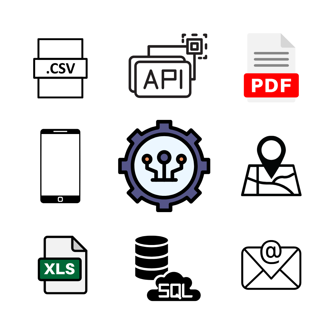
Other than Earl Grey Tea and Maps, we love Data. Without data our uses of QGIS would be very limited. But we are not all about Geographic data, we love any type of data - Spreadsheets, CSV, XML, JSON, or API.
We have access to a range of technologies and the skills in cloud services so that can transform, cleanup, export, combine, move and do some much more with data.
Visualizing data
Do you know where all your assets or customers are located? Is this data stuck in a dull spreadsheet, then lets get it onto a map!
Have you data that you want to see in a dashboard, we can help.
Create it
Loose Goat can help create the data you need, or help you source the data required for a project. We also have a wide range of tools to cleanup or improve data.
Access to Open-Data is changing the world, so why not take advantage of it to build the data you need.
Do you want to capture data out in the field, or want forms with automation or workflow, lets talk jotForm and AirTable.
Grow it
Automation of data, lets talk FME, Zapier, AirTable.
We use Cloud Services from AWS to host data in Postgres/PostGIS and MySQL. Could you benefit from having your data hosted in the cloud?
Looking to see what APIs can do for you? Lets talk.
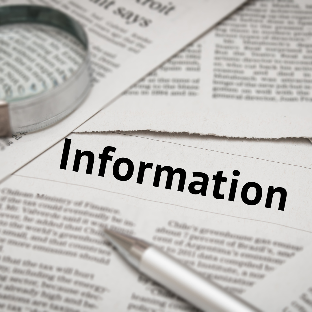
INFORMATION GOVERNANCE
At the Loose Goat we have an expert in GDPR (BDPR) and Information Governance, who is passionate about her subject.
How can we help you?
Guidance can take the form of looking at privacy notices, or company policies and suggesting best practice.
Training on GDPR for both those that need a gentle introduction to the subject, or for senior managers needing to know what needs to be done and how to comply with the law.
We can also provide help in Free of Information and establishing asset registers.
Contact
Location:
Bisley, Surrey. UK
Email:
hello@loosegoat.com
Call:
07772364721